Irth Enhances Platform with Borealis Acquisition! Learn More > 

Case Study


Optimizing Land & Community Engagement

How a Leading Australian Renewable Energy Company Transformed Land Acquisition and Stakeholder Engagement

Context

icon_team-building

Supports more than 2 GW of assets with a team of 150+ employees and is one of the world’s largest independent renewable energy companies.

icon_careers

Portfolio spans wind, solar, hydro, and energy storage projects across multiple regions.

enterprise-reporting

Rapid portfolio growth and complex developments increased the need for stronger land acquisition, stakeholder engagement, and compliance processes.

Challenges

  • Lacked a single source of truth. 
  • Limited collaboration created inefficiencies and delays. 
  • Existing tools could not link stakeholders to land parcels or visualize relationships geographically around project assets. 
  • Complex reporting requirements required customization. 
Challenges_enewable-energy-company-optimized-land-acquisition-community-engagement-2

Solutions


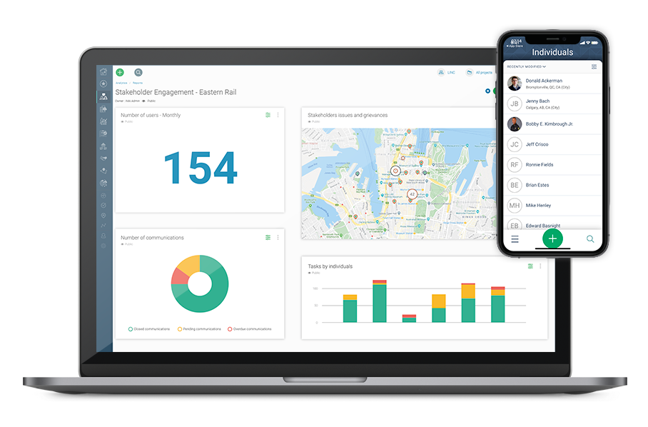
The team chose Borealis, Irth’s solution for managing stakeholders and land. They implemented it as a pilot project to validate configurations, migrate data, and refine workflows before scaling the platform across the business. The rollout included:


Stakeholder Engagement module

Land Management module

Smart Communications

computer-borealis


‘‘Borealis (now Irth for Stakeholder and Land management) has transformed our stakeholder engagement processes. The ability to integrate geographic mapping with our stakeholder data has helped us significantly reduce risks and work more efficiently. The planning and task management features provide a clear, effective way to plan and reflect engagement for our projects.’’

Community Engagement Manager

Key benefits and results

Centralized, structured data: A single source of truth improved collaboration and reduced compliance risk across teams.


Geographic intelligence: Linking stakeholders to land data enabled faster, more accurate identification of affected landowners and communities.

Real-time visibility: Dynamic maps and dashboards ensured teams always worked with up-to-date information.

Improved planning: Clear visibility into past and future engagement activities supported better resource allocation and task management.

Faster approvals: Well-documented engagement histories made it easier to demonstrate accountability and accelerate regulatory approvals.

Automated reporting: Scheduled reports tracked KPIs such as communications volume, engagement topics, and task progress with minimal manual effort.

Within six months, the engagement expanded from a single pilot project to 25 active development projects, with adoption continuing to grow across the Australian business unit.


‘‘Borealis (now Irth for Stakeholder and Land Management) has brought the Community Engagement and Land Management teams together. Before that, we didn’t have visibility on the live information about geolocation of stakeholders; we would only receive those as outputs. There was no synergy, and data governance was a big challenge. It’s more obvious now when and how we need to update, and a lot more seamless to do so.’’

Assistant Land Acquisition Manager

Powering-Project-Approval-in-Renewable-Energy-