See the Full Picture: Interactive GIS for Land Teams
Mitigate Risks and Boost Operational Efficiency by Leveraging Real-time Geospatial Insights Into Land Data
Location matters in land and asset management. Our GIS Viewer delivers real-time spatial intelligence, embedding Esri-based mapping directly into your land and agreement workflows. With seamless two-way integration into your enterprise GIS, you eliminate data silos and gain a single, connected view.
Support for common geospatial formats, flexible data-entry options, and role-based map views ensure your entire organization works from accurate, relevant data, whether in the field or the office. It’s GIS built to fit your business.
Value of Spatial Intelligence for Land & Asset Management
Seamless GIS Integration
Seamlessly integrates with your enterprise GIS for live, two-way data sharing, eliminating silos and duplicate entry. From the map, access land agreement details, analyze ownership, retrieve key documents, and review stakeholder communications — all in one place.
Stay Ahead of Parcel and Ownership Updates
Automatically detect ownership changes and parcel boundary updates that impact payment calculations and distributions. By continuously monitoring land records and geospatial data, the platform keeps your team informed and proactive, reducing risk and supporting smarter agreement management and project planning.
Esri-Based Interface
Powered by industry-leading Esri technology, the platform delivers familiar and intuitive map experiences for your team. Customizable dashboards and portlets give users real-time access to all the data they need, seamlessly integrated with interactive maps to support daily operations.
Flexible Data Exchange
Supports KML, KMZ, Shapefiles, Map and Feature services for smooth collaboration with external partners and systems.
Multiple Data Entry Options
Effortlessly add or update records one at a time or in bulk, using either map-based or list-based interfaces tailored to your workflow and user preferences.
Role-Based Map Views
Customize map layers, dashboards, and portlets based on user role or department to present only the most relevant, real-time data each individual needs to ensure clarity, efficiency, and secure access to critical information.
Deployment Tailored to Your Needs
Deploy as a fully embedded solution within the Irth Land and GIS Viewer platforms, or seamlessly integrate Irth Land with your enterprise GIS, providing flexible options that align perfectly with your existing technology stack.
Request a Demo
Request a Demo
More Than a Learning Management System (LMS)
Train workers and simplify the complexity of governance and compliance to mitigate risk with data and reporting.
Continuous Improvement
Create learning paths to make it easy for people to learn with the ability to continuously improve your trainings.
Flexible Features
Scalable and flexible user management features for users and user groups.
Competency Metrics
Quality assurance assessments and training make it easy to track training competency metrics.
Certifications
Manage team’s certification and continuing education progress.
Why Trust CIM for Internal Corrosion Management?
Operators in the oil and gas industry face ongoing challenges in managing internal corrosion. Without a structured, data-driven approach, critical assets remain vulnerable to failure, increasing costs and risks.
Configurable & Scalable
Tailor workflows and reporting to match your program’s unique needs. Whether managing a single pipeline segment or an entire network, our solution adapts to your scale.
Enterprise Integration
Seamlessly connect with internal databases, regulatory platforms, and vendor systems for efficient data management and compliance tracking.
Improved Visibility & Decision-Making
Gain a 360-degree view of your corrosion program through interactive dashboards, real-time alerts, and predictive analytics.
Reliable & Secure
Our cloud-based platform ensures 99.99% uptime with enterprise-grade security, ensuring data is accessible and protected at all times.
811 Ticket Management
Comprehensive one call ticket management
Predictive and prescriptive analytics with AI
Automated ticket screening, routing, and dynamic dispatching
Automated positive response to one call and excavators
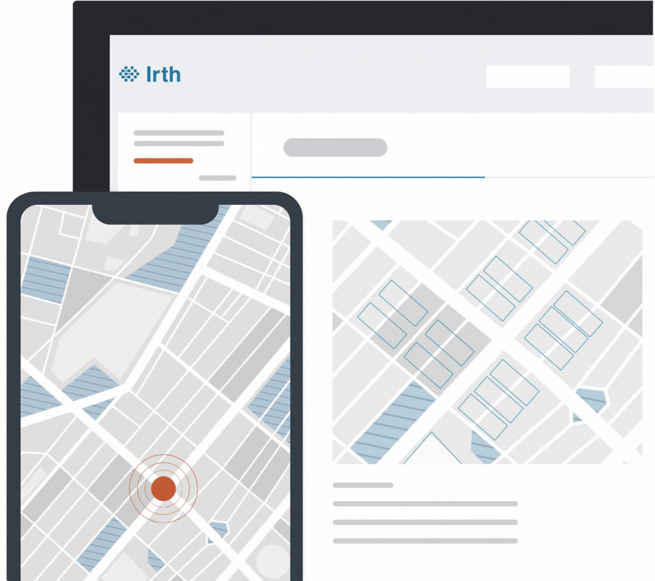
Accurate geo-location mapping and map layers viewable whether online or offline
Document and image attachments
Native applications for iOS, Android, and Windows
Fully configurable workflows for field operations (locate audits, damage investigations, claims processing, etc.)
Automated, customizable workflows
Work portal for tasks, alerts, and notifications
Reporting and analytics featuring Microsoft Power BI
Seamless integrations with internal and external systems
Locate accuracy and training
Built for Insight. Designed for Action.
Irth Land Management’s GIS Viewer transforms how you interact with land data, bringing geospatial intelligence to the center of your workflows. From visualizing parcel boundaries and tracking ownership changes to accessing agreements and documents directly from the map, the platform empowers teams to make location-driven decisions with confidence. Built on Esri technology and fully integrable with enterprise GIS, it delivers real-time, map-based insights that enhance planning, collaboration, and operational efficiency across your organization.
Unlock the full power of your land data with a platform that combines spatial awareness, clarity, and control, empowering your team to make confident, location-driven decisions.
When it comes to damage prevention, nobody has Irth’s experience with 811 ticket management.
Our customers in the energy, gas utility, telecommunications, and electric utility industries have millions of miles of pipelines, cables, and critical network infrastructure that need constant, vigilant protection. We understand that one misguided excavation can result in serious injury to workers or a massive outage that could be crippling to business and communities.
By using Irth’s cloud-based platform, companies can electronically receive, respond to, and resolve excavation requests. Our solution is connected to every one call center in North America, so you can manage 811 tickets no matter where your critical network infrastructure is. Our technology is also constantly updated to adhere to regulations across all states, provinces, and territories. We’re committed to ensuring your critical assets are functioning and protected from potential damage.
Protect your critical infrastructure, improve public safety, and meet time-sensitive regulations — all from one platform.
Join Our Newsletter
Stay ahead with curated insights delivered monthly.
Irth’s market-leading SaaS platform improves resilience and reduces risk in the sustainable delivery of essential services that millions of people and businesses rely on every day. Energy, utility, and telecom companies across the U.S. and Canada trust Irth for damage prevention, asset integrity, land management, and training solutions. Powered by business intelligence, analytics, and geospatial data, our platform helps deliver the 360-degree situational awareness needed to proactively mitigate and manage risk of critical network infrastructure in a changing environment. Irth has been the top provider for 811 (one call) ticket management and utility locating software since 1995.
Contact
5009 Horizons Drive
Columbus, OH 43220
© 2025 Irth Solutions, L.L.C.
