



Irth User Summit 2026 Announced - Join Us in New Orleans. Learn More >

Simplify Land Access and Acquisition


Accelerate Negotiations, Maintain Compliance, and Keep Projects Moving Forward

Land access is critical to project success, but managing agreements, negotiations, obligations, and stakeholder relationships across disconnected systems creates unnecessary risk and delays. Irth brings every aspect of land access and acquisition into one secure, centralized platform.

Connect land data, agreements, stakeholder engagement, and compliance activities in a single source of truth. With real-time visibility into negotiations, commitments, and obligations, teams can work more efficiently, strengthen community relationships, and keep projects on schedule from planning through operations.

Everything You Need in One Platform

Land Access and Acquisition Icon-03

Centralized Agreements

Maintain a complete, searchable record of land requests, contracts, agreements, and obligations in one secure location.


icon - Geographic Intelligence

Geographic Visibility

Link agreements directly to parcels, assets, and map data to understand exactly where obligations apply.

icon - Commitment Tracking

Faster Negotiations

Track every stage of negotiations, assign responsibilities, and monitor progress to avoid costly delays.

Land Access and Acquisition Icon-02

ArcGIS Integration

Sync agreement and land information with ArcGIS to keep records accurate, connected, and up to date.

Land Access and Acquisition Icon-06

Compliance Assurance

Maintain a complete audit trail of negotiations, commitments, approvals, and agreement history.

icon - Transparent Reporting

Payment Tracking

Monitor compensation, benefits, commitments, and deadlines with real-time visibility and automated reminders.

Request a Demo

Request a Demo

Navigate Complex Stakeholder Relationships

Build trust, track commitments, and engage stakeholders more effectively.

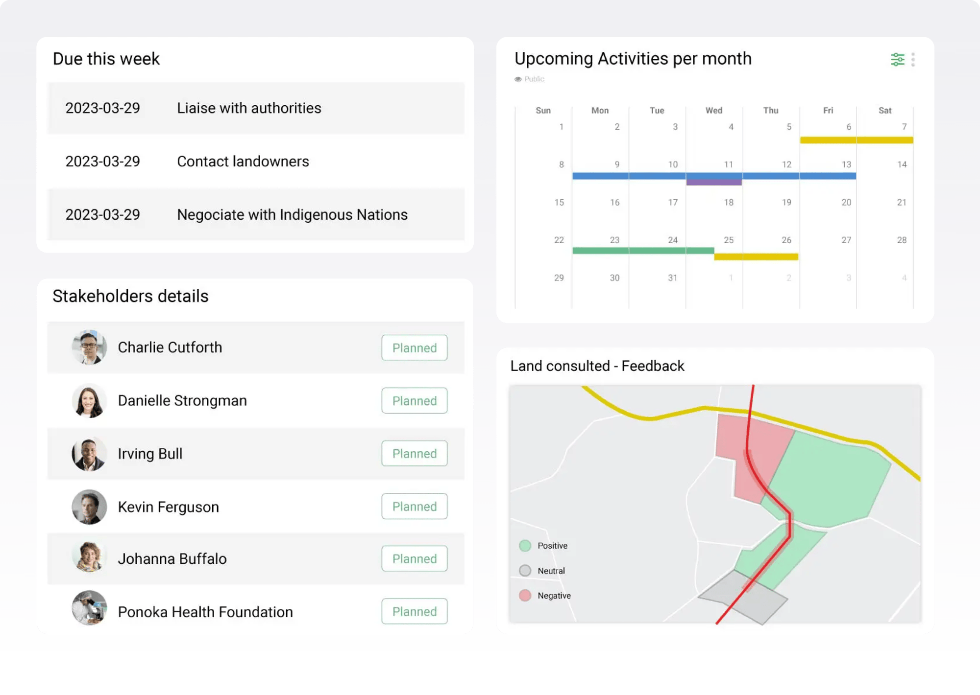
Successful projects depend on strong relationships with landowners, communities, government officials, Indigenous groups, and other stakeholders. Yet when engagement records, commitments, and communications are scattered across spreadsheets, emails, and disconnected systems, important context can be lost and risks can grow.

Irth brings stakeholder information, engagement activities, agreements, and geographic data together in one platform. With a complete view of every relationship, teams can make informed decisions, fulfill commitments, demonstrate accountability, and build lasting trust throughout the project lifecycle.

Build Trust Through Better Engagement

icon - Complete Stakeholder View

Complete Stakeholder View

Create a single source of truth that combines communications, agreements, concerns, commitments, and relationship history.

icon - Geographic Intelligence

Geographic Intelligence

Link stakeholders to properties, assets, and project locations for clearer context, smarter planning, and more targeted engagement.

icon - Commitment Tracking

Commitment Tracking

Monitor obligations, follow-ups, and deadlines to ensure commitments are fulfilled and expectations are met.

icon - Risk & Relationship Insights

Risk & Relationship Insights

Track stakeholder interests, concerns, sentiment, and influence to proactively manage risks and identify emerging issues.

icon - Coordinated Engagement

Coordinated Engagement

Give teams access to consistent, up-to-date information, workflows, and engagement history so every interaction is informed and aligned.

icon - Transparent Reporting

Transparent Reporting

Generate detailed reports and maintain a complete audit trail that demonstrates accountability to regulators, investors, communities, and internal teams.

icon - Social License Support

Social License Support

Build stronger community relationships through transparent, responsive engagement practices that support long-term project success.

Why Trust CIM for Internal Corrosion Management?

Operators in the oil and gas industry face ongoing challenges in managing internal corrosion. Without a structured, data-driven approach, critical assets remain vulnerable to failure, increasing costs and risks.

Configurable & Scalable

Tailor workflows and reporting to match your program’s unique needs. Whether managing a single pipeline segment or an entire network, our solution adapts to your scale.

Enterprise Integration

Seamlessly connect with internal databases, regulatory platforms, and vendor systems for efficient data management and compliance tracking.

Improved Visibility & Decision-Making

Gain a 360-degree view of your corrosion program through interactive dashboards, real-time alerts, and predictive analytics.

Reliable & Secure

Our cloud-based platform ensures 99.99% uptime with enterprise-grade security, ensuring data is accessible and protected at all times.

811 Ticket Management


Checked-OutlinedComprehensive one call ticket management

Checked-OutlinedPredictive and prescriptive analytics with AI

Checked-OutlinedAutomated ticket screening, routing, and dynamic dispatching

Checked-OutlinedAutomated positive response to one call and excavators

Checked-OutlinedAccurate geo-location mapping and map layers viewable whether online or offline

Checked-OutlinedDocument and image attachments

Checked-OutlinedNative applications for iOS, Android, and Windows 

Checked-OutlinedFully configurable workflows for field operations (locate audits, damage investigations, claims processing, etc.)

Checked-OutlinedAutomated, customizable workflows

Checked-OutlinedWork portal for tasks, alerts, and notifications

Checked-OutlinedReporting and analytics featuring Microsoft Power BI

Checked-OutlinedSeamless integrations with internal and external systems

Checked-OutlinedLocate accuracy and training 

Damage Prevention - Tasks

When it comes to damage prevention, nobody has Irth’s experience with 811 ticket management.

Our customers in the energy, gas utility, telecommunications, and electric utility industries have millions of miles of pipelines, cables, and critical network infrastructure that need constant, vigilant protection. We understand that one misguided excavation can result in serious injury to workers or a massive outage that could be crippling to business and communities.

By using Irth’s cloud-based platform, companies can electronically receive, respond to, and resolve excavation requests. Our solution is connected to every one call center in North America, so you can manage 811 tickets no matter where your critical network infrastructure is. Our technology is also constantly updated to adhere to regulations across all states, provinces, and territories. We’re committed to ensuring your critical assets are functioning and protected from potential damage.

Protect your critical infrastructure, improve public safety, and meet time-sensitive regulations — all from one platform.

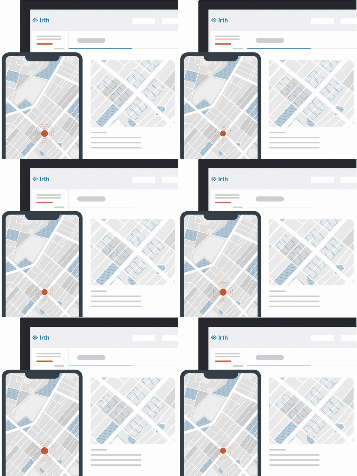
Media images with pulsing location dot
Land Access and Acquisition Icon-07

Transparent Reporting

Generate location-specific reports that support regulatory compliance and build trust with communities and stakeholders.

Land Access and Acquisition Icon-05

Stronger Community Relationships

Connect stakeholder engagement activities directly to agreements for greater accountability and continuity.

Land Access and Acquisition Icon-04

Project Lifecycle Continuity

Support land access activities from siting and permitting through development, operations, and long-term stewardship.

Land Access and Acquisition Icon-01

Conflict Identification

Map ownership and parcel data to identify overlapping claims and potential land access issues early.

Siting-&-Permitting

Secure Land Access with Confidence

Irth helps your organization manage land access, agreements, negotiations, and stakeholder commitments through a single connected platform. By bringing together land data, workflows, communications, and compliance tracking, teams gain the visibility needed to reduce delays, strengthen accountability, and keep projects moving forward. With integrated mapping, automated reminders, and audit-ready reporting, every obligation and interaction remains accessible, traceable, and actionable.

Accelerate land access, reduce risk, and move projects forward with confidence.

Join Our Newsletter

Stay ahead with curated insights delivered monthly. 

Return to top